Agroholding “Step” utilizes 3D modeling in the sowing campaign

This year, agroholding “Step” will carry out winter sowing using 3D field modeling. This technology involves the creation of three-dimensional landscape models based on geospatial data and taking into account the terrain, which makes it possible to identify the trajectories of natural water flow, as well as areas with excess moisture.
Knowing the trajectory of the water flow, one can build the correct direction of tillage and sowing. This minimizes the washing off of the fertile soil layer and allows farmers to evenly accumulate moisture throughout the field, increasing yields. Information about the relief of the fields also helps to more efficiently carry out the processing of fields and prevent the formation of ravines.
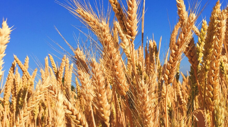
Therefore, the Step agricultural holding plans to sow winter wheat on an area of 400 hectares and, if successful, extend 3D modeling to all agricultural lands.
“The agricultural sector is now showing high rates of innovative development. Modern technologies can significantly increase operational efficiency, minimize the impact of the human factor and ensure sustainable long-term growth of the agricultural industry,” said Andrey Neduzhko, CEO of the Step agricultural holding.
Enjoyed this story?
Every Monday, our subscribers get their hands on a digest of the most trending agriculture news. You can join them too!


Discussion0 comments